Deer Management Zone 50 -- location as described at N.J.A.C. 7:25-5.29(p)50
scope · row 249 of the record
The document
nj_njac725.pdf · identification: sha_verified
New Jersey Department of Environmental Protection, Division of Fish and Wildlife, N.J.A.C. 7:25 (Division of Fish and Wildlife Rules), Subchapter 5 (Game Code), courtesy copy, "Date last amended: October 2, 2023"; pp.152-205 (7:25-5.24 bow and arrow general provisions through 7:25-5.31, which is all seven dedicated white-tailed deer season sections read contiguously), pp.77-83 (7:25-5.1 general provisions and definitions), pp.215-217 (7:25-5.36 white-tailed deer special biological permit), pp.326-327 (SUBCHAPTER 17, Disposal and Possession of Dead Deer, 7:25-17.1 through 17.7), pp.451-454 (SUBCHAPTER 23, Permit to Kill Wild Deer, 7:25-23.1 through 23.8) and p.1 (the title page and the date last amended). NO SOURCE URL IS RECORDED AND NONE MAY BE GUESSED: these bytes were supplied by the operator on 2026-08-08 and were not retrieved by this compilation; the address that serves them is unknown here. Identified by sha256 888291b0c3c9369cdf3a7ddd5bc1caa5b6e28e419818604f90e36d18e3dbc5d7 (465 pages, 1,821,844 bytes) and by nothing else. This is the ADOPTED, IN-FORCE code and not a proposal: the string "PROPOSAL" occurs 0 times in all 465 pages, and its absence is asserted on every page read.
url divergence: record cites '', sidecar records None. The bytes are the ones the record attests to (sha256 matches exactly); the citation url and the fetch url differ.
bytes hash to the record's source_sha256; the .pdf.source sidecar names a different url
located: verbatim source lines of this row appear uniquely on pages 168, 191 — the row straddles a page break
This row, on page 191
18 source line(s) occur exactly once on page 191; the box is that occurrence
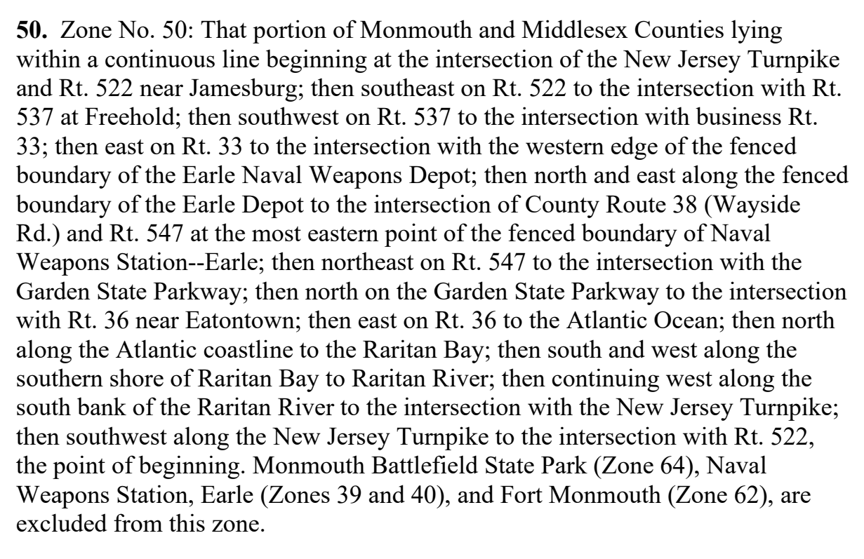
50. zone no. 50: that portion of monmouth and middlesex counties lying
within a continuous line beginning at the intersection of the new jersey turnpike
and rt. 522 near jamesburg; then southeast on rt. 522 to the intersection with rt.
537 at freehold; then southwest on rt. 537 to the intersection with business rt.
33; then east on rt. 33 to the intersection with the western edge of the fenced
boundary of the earle naval weapons depot; then north and east along the fenced
boundary of the earle depot to the intersection of county route 38 (wayside
rd.) and rt. 547 at the most eastern point of the fenced boundary of naval
weapons station--earle; then northeast on rt. 547 to the intersection with the
garden state parkway; then north on the garden state parkway to the intersection
with rt. 36 near eatontown; then east on rt. 36 to the atlantic ocean; then north
along the atlantic coastline to the raritan bay; then south and west along the
southern shore of raritan bay to raritan river; then continuing west along the
south bank of the raritan river to the intersection with the new jersey turnpike;
then southwest along the new jersey turnpike to the intersection with rt. 522,
the point of beginning. monmouth battlefield state park (zone 64), naval
weapons station, earle (zones 39 and 40), and fort monmouth (zone 62), are
excluded from this zone.
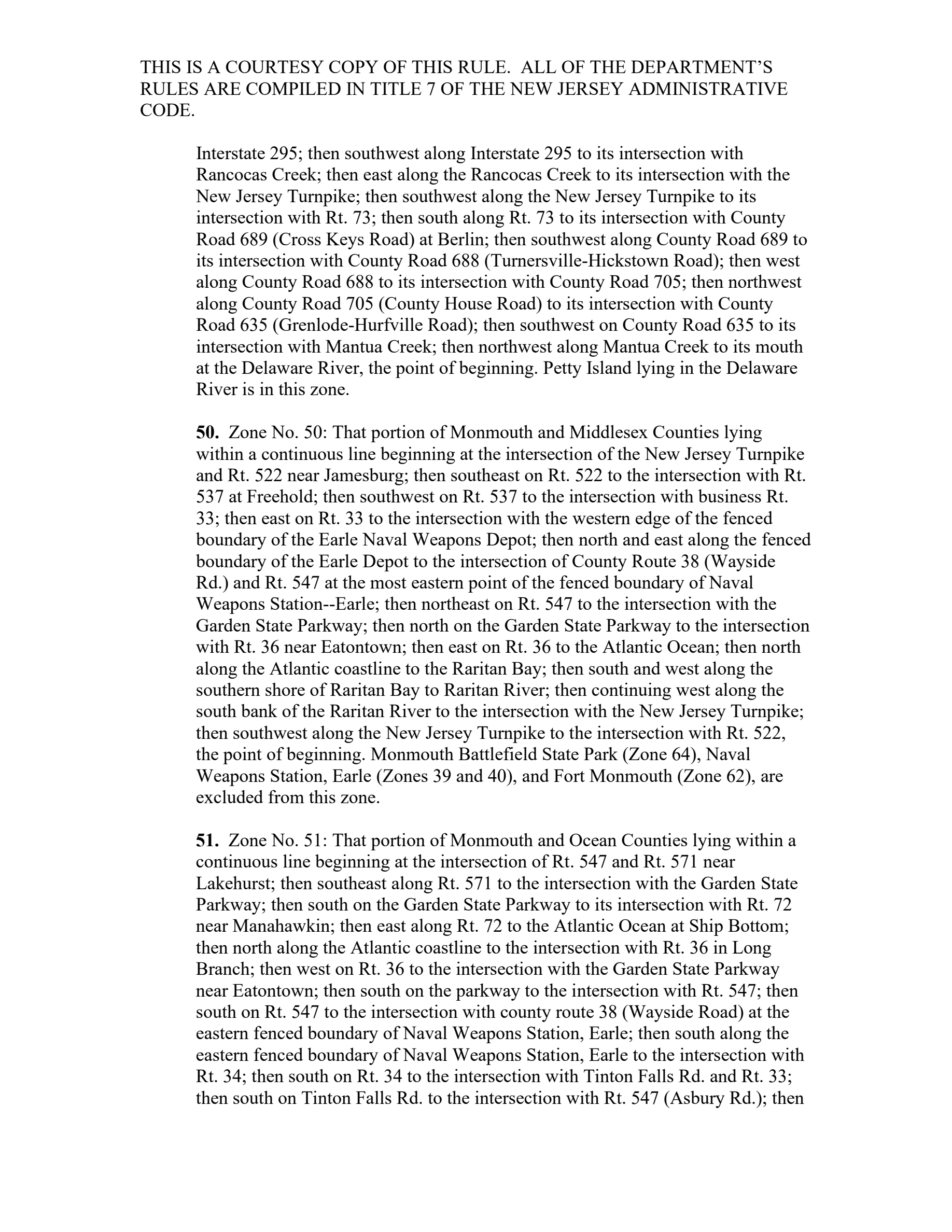
Page 191 of nj_njac725.pdf
The page is the document's, unedited. What this compilation read off it is the row above; what it did not read is on the state page under “what this record does not carry”.