Deer Management Zone 18 -- location as described at N.J.A.C. 7:25-5.29(p)18
scope · row 217 of the record
The document
nj_njac725.pdf · identification: sha_verified
New Jersey Department of Environmental Protection, Division of Fish and Wildlife, N.J.A.C. 7:25 (Division of Fish and Wildlife Rules), Subchapter 5 (Game Code), courtesy copy, "Date last amended: October 2, 2023"; pp.152-205 (7:25-5.24 bow and arrow general provisions through 7:25-5.31, which is all seven dedicated white-tailed deer season sections read contiguously), pp.77-83 (7:25-5.1 general provisions and definitions), pp.215-217 (7:25-5.36 white-tailed deer special biological permit), pp.326-327 (SUBCHAPTER 17, Disposal and Possession of Dead Deer, 7:25-17.1 through 17.7), pp.451-454 (SUBCHAPTER 23, Permit to Kill Wild Deer, 7:25-23.1 through 23.8) and p.1 (the title page and the date last amended). NO SOURCE URL IS RECORDED AND NONE MAY BE GUESSED: these bytes were supplied by the operator on 2026-08-08 and were not retrieved by this compilation; the address that serves them is unknown here. Identified by sha256 888291b0c3c9369cdf3a7ddd5bc1caa5b6e28e419818604f90e36d18e3dbc5d7 (465 pages, 1,821,844 bytes) and by nothing else. This is the ADOPTED, IN-FORCE code and not a proposal: the string "PROPOSAL" occurs 0 times in all 465 pages, and its absence is asserted on every page read.
url divergence: record cites '', sidecar records None. The bytes are the ones the record attests to (sha256 matches exactly); the citation url and the fetch url differ.
bytes hash to the record's source_sha256; the .pdf.source sidecar names a different url
located: verbatim source lines of this row appear uniquely on pages 168, 182 — the row straddles a page break
This row, on page 182
14 source line(s) occur exactly once on page 182; the box is that occurrence
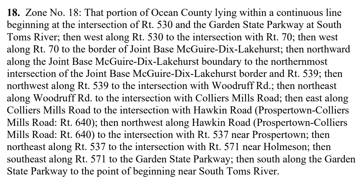
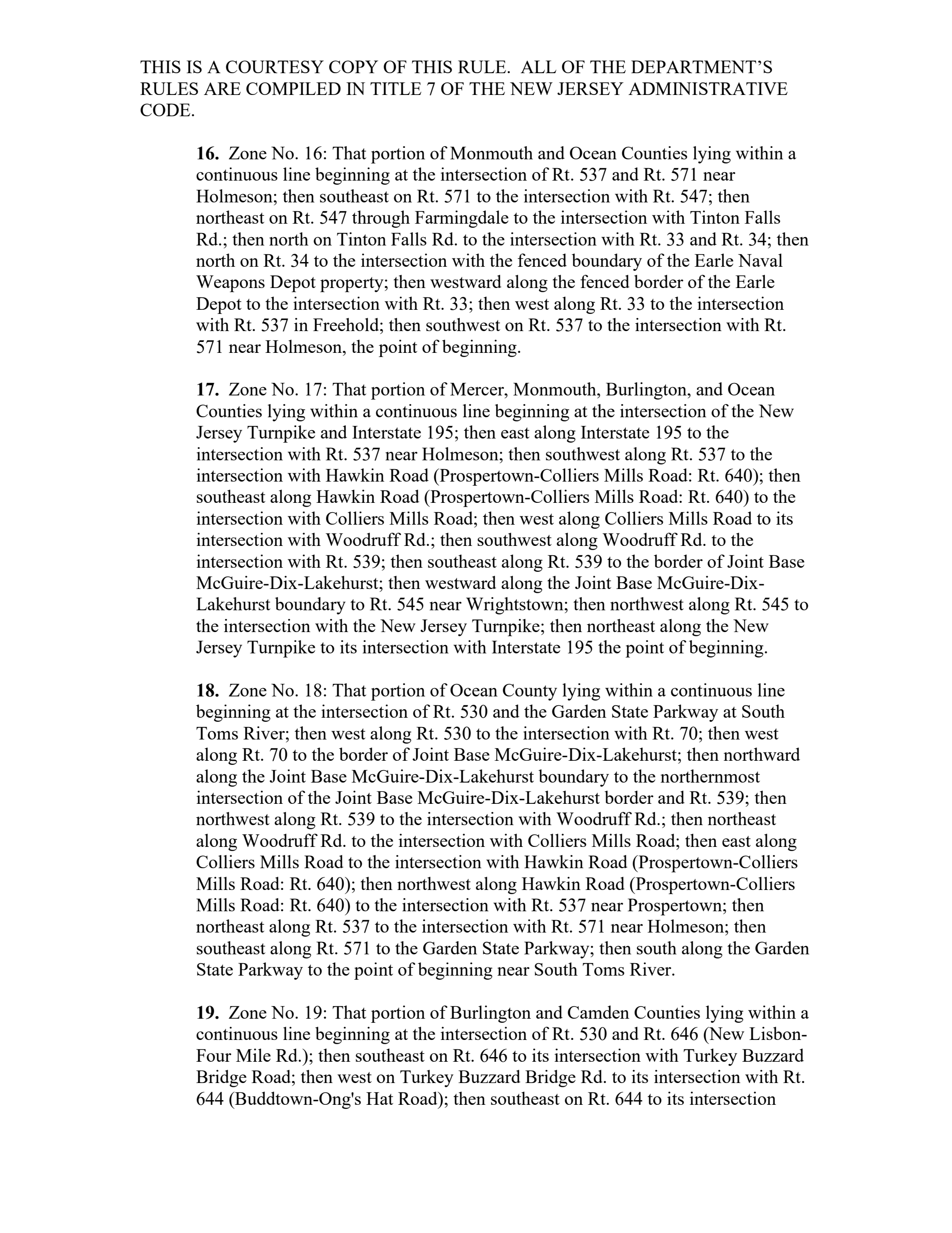
18. zone no. 18: that portion of ocean county lying within a continuous line
beginning at the intersection of rt. 530 and the garden state parkway at south
toms river; then west along rt. 530 to the intersection with rt. 70; then west
along rt. 70 to the border of joint base mcguire-dix-lakehurst; then northward
along the joint base mcguire-dix-lakehurst boundary to the northernmost
intersection of the joint base mcguire-dix-lakehurst border and rt. 539; then
northwest along rt. 539 to the intersection with woodruff rd.; then northeast
along woodruff rd. to the intersection with colliers mills road; then east along
colliers mills road to the intersection with hawkin road (prospertown-colliers
mills road: rt. 640); then northwest along hawkin road (prospertown-colliers
mills road: rt. 640) to the intersection with rt. 537 near prospertown; then
northeast along rt. 537 to the intersection with rt. 571 near holmeson; then
southeast along rt. 571 to the garden state parkway; then south along the garden
state parkway to the point of beginning near south toms river.
Page 182 of nj_njac725.pdf
The page is the document's, unedited. What this compilation read off it is the row above; what it did not read is on the state page under “what this record does not carry”.