Michigan Natural Resources Commission, The Wildlife Conservation Order (Michigan Department of Natural Resources), pp.18-35 (Chapter III, sections 3.100-3.124, deer), pp.136-152 (Chapter XII, sections 12.1-12.499, deer management units) and p.167 (Chapter XII, sections 12.900-12.999, CWD management zone and Pure Michigan hunt unit). No source URL is recorded: see `scope`.
url divergence: record cites '', sidecar records None. The bytes are the ones the record attests to (sha256 matches exactly); the citation url and the fetch url differ.
bytes hash to the record's source_sha256; the .pdf.source sidecar names a different url
located: a verbatim source line of this row appears on page 144 of the source PDF and on no other page the record read
This row, on page 144
15 source line(s) occur exactly once on page 144; the box is that occurrence
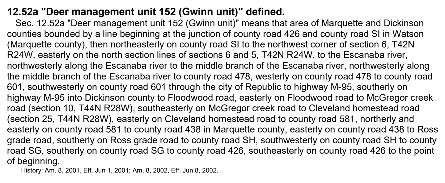
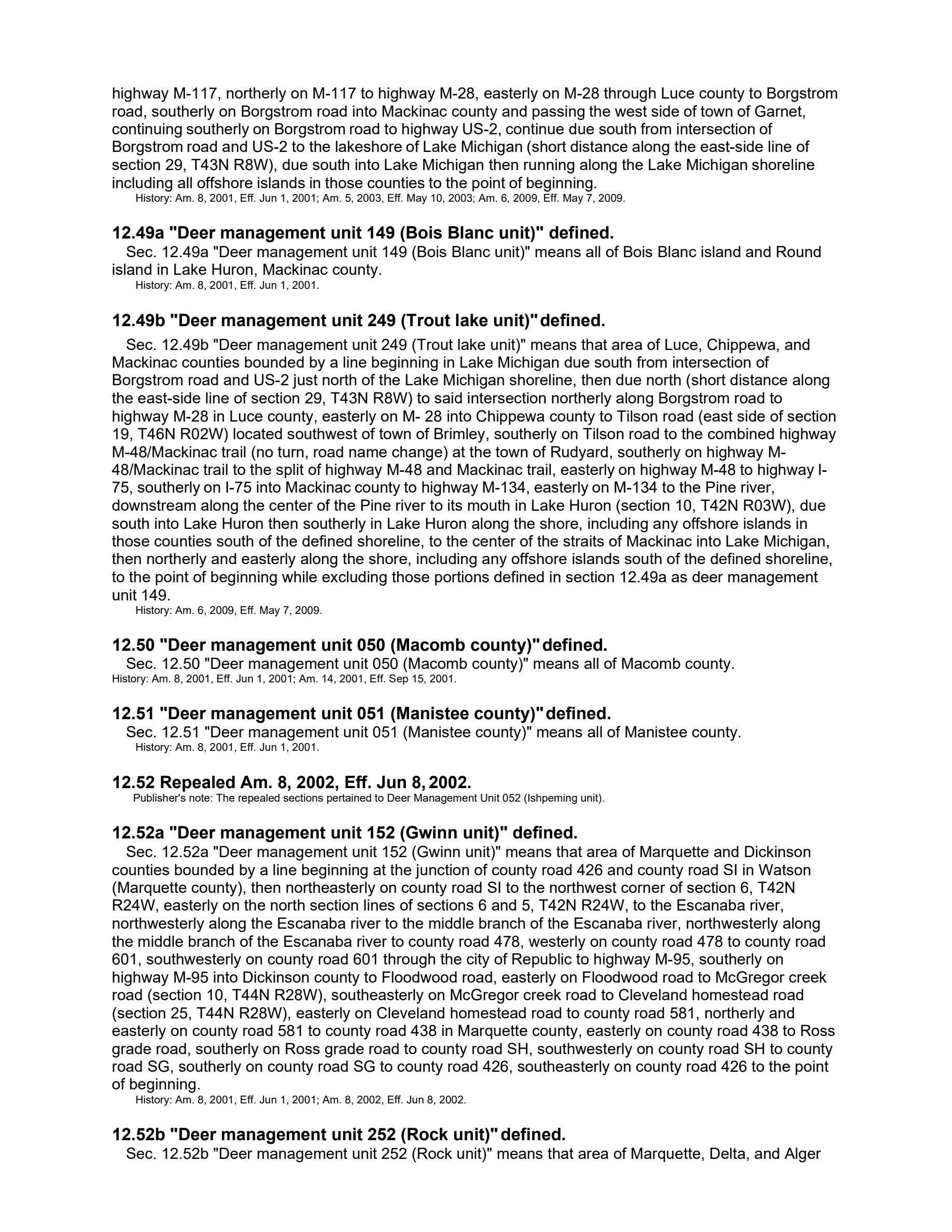
12.52a "deer management unit 152 (gwinn unit)" defined.
history: am. 8, 2001, eff. jun 1, 2001; am. 8, 2002, eff. jun 8, 2002.
sec. 12.52a "deer management unit 152 (gwinn unit)" means that area of marquette and dickinson
counties bounded by a line beginning at the junction of county road 426 and county road si in watson
(marquette county), then northeasterly on county road si to the northwest corner of section 6, t42n
r24w, easterly on the north section lines of sections 6 and 5, t42n r24w, to the escanaba river,
northwesterly along the escanaba river to the middle branch of the escanaba river, northwesterly along
the middle branch of the escanaba river to county road 478, westerly on county road 478 to county road
601, southwesterly on county road 601 through the city of republic to highway m-95, southerly on
highway m-95 into dickinson county to floodwood road, easterly on floodwood road to mcgregor creek
road (section 10, t44n r28w), southeasterly on mcgregor creek road to cleveland homestead road
(section 25, t44n r28w), easterly on cleveland homestead road to county road 581, northerly and
easterly on county road 581 to county road 438 in marquette county, easterly on county road 438 to ross
grade road, southerly on ross grade road to county road sh, southwesterly on county road sh to county
road sg, southerly on county road sg to county road 426, southeasterly on county road 426 to the point
Page 144 of mi_wco.pdf
The page is the document's, unedited. What this compilation read off it is the row above; what it did not read is on the state page under “what this record does not carry”.