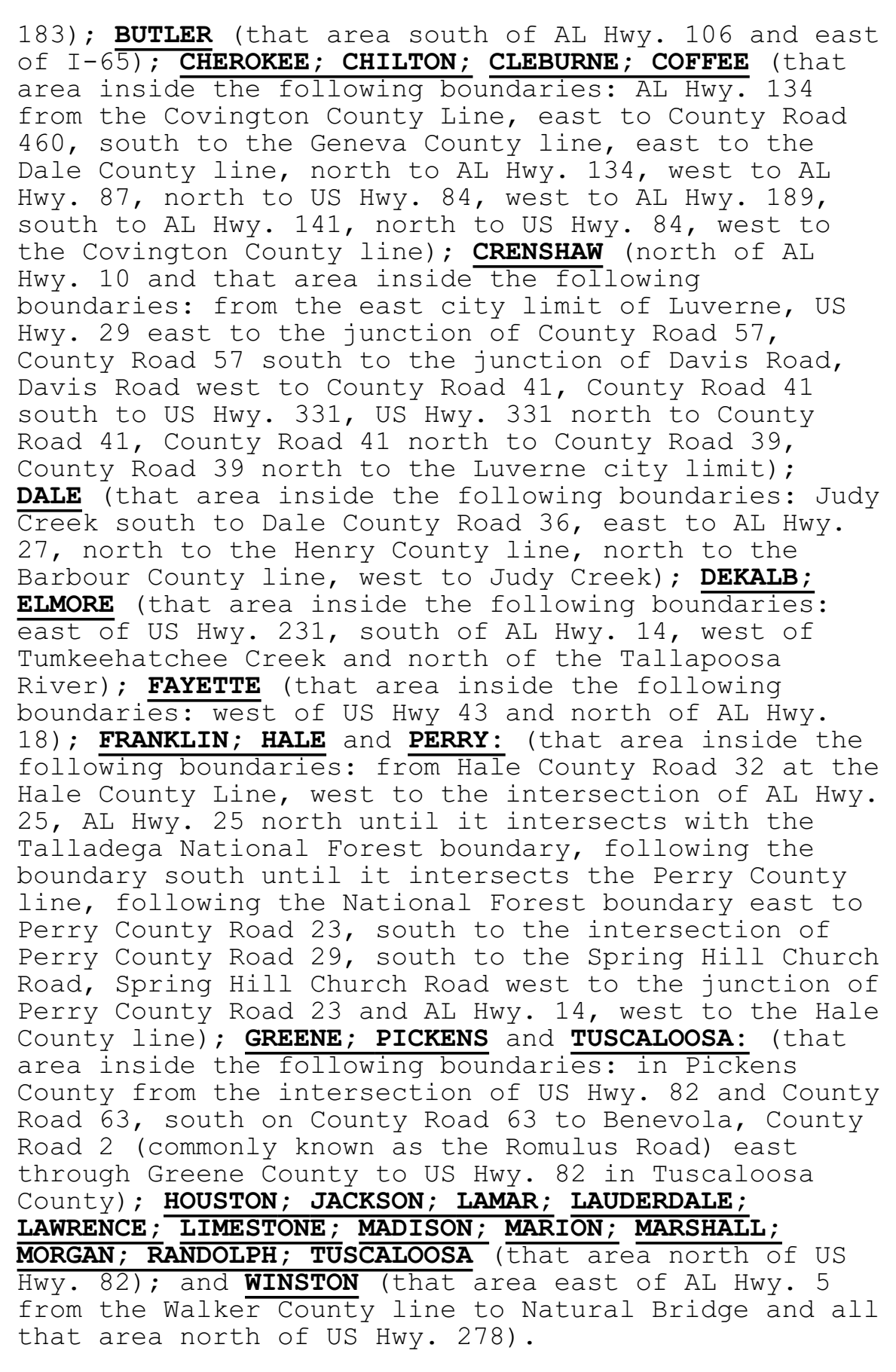
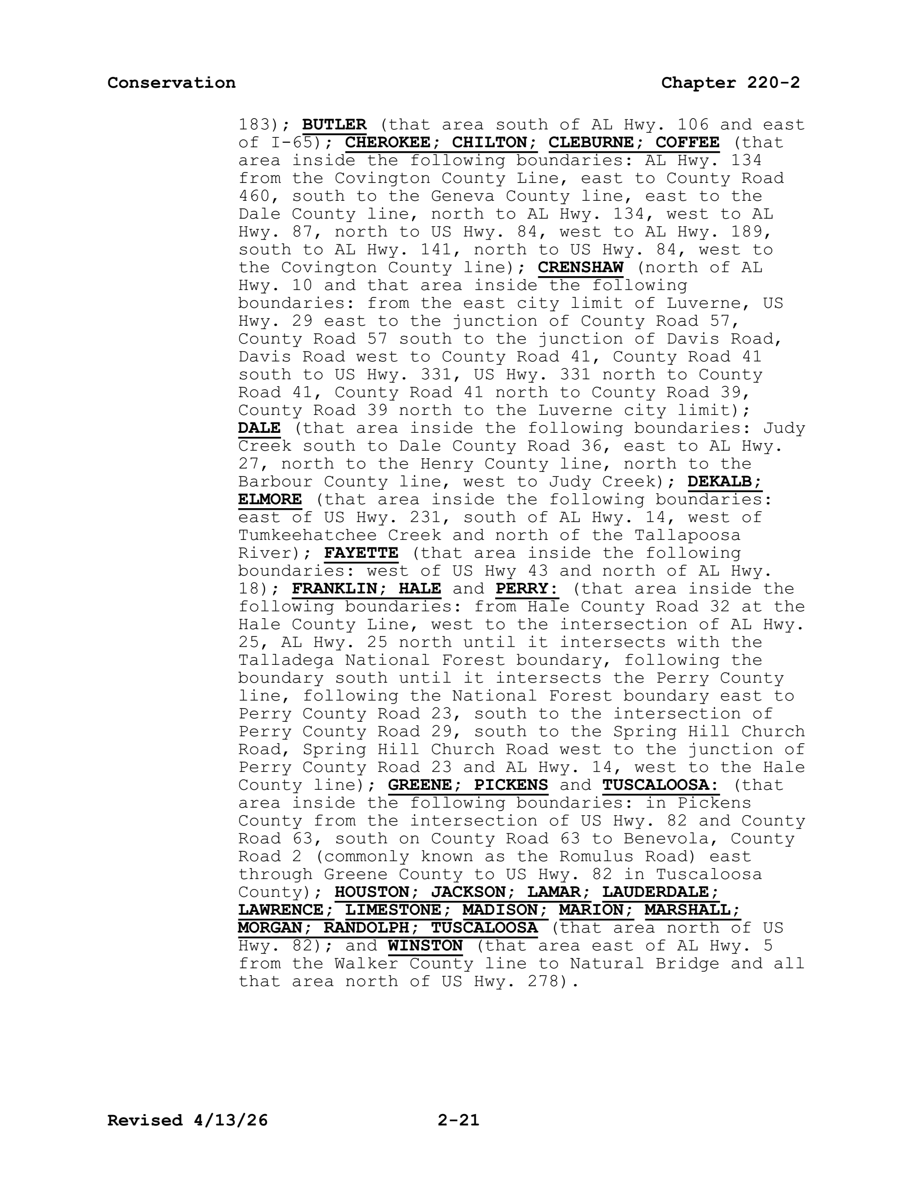
By Stalk Hunting Only (No Dogs): BIBB; PERRY: (that area inside the following boundaries: east of AL Hwy. 219, south of US Hwy. 82 and north of AL Hwy. 183); BUTLER (that area south of AL Hwy. 106 and east of I-65); CHEROKEE; CHILTON; CLEBURNE; COFFEE (that area inside the following boundaries: AL Hwy. 134 from the Covington County Line, east to County Road 460, south to the Geneva County line, east to the Dale County line, north to AL Hwy. 134, west to AL Hwy. 87, north to US Hwy. 84, west to AL Hwy. 189, south to AL Hwy. 141, north to US Hwy. 84, west to the Covington County line); CRENSHAW (north of AL Hwy. 10 and that area inside the following boundaries: from the east city limit of Luverne, US Hwy. 29 east to the junction of County Road 57, County Road 57 south to the junction of Davis Road, Davis Road west to County Road 41, County Road 41 south to US Hwy. 331, US Hwy. 331 north to County Road 41, County Road 41 north to County Road 39, County Road 39 north to the Luverne city limit); DALE (that area inside the following boundaries: Judy Creek south to Dale County Road 36, east to AL Hwy. 27, north to the Henry County line, north to the Barbour County line, west to Judy Creek); DEKALB; ELMORE (that area inside the following boundaries: east of US Hwy. 231, south of AL Hwy. 14, west of Tumkeehatchee Creek and north of the Tallapoosa River); FAYETTE (that area inside the following boundaries: west of US Hwy 43 and north of AL Hwy. 18); FRANKLIN; HALE and PERRY: (that area inside the following boundaries: from Hale County Road 32 at the Hale County Line, west to the intersection of AL Hwy. 25, AL Hwy. 25 north until it intersects with the Talladega National Forest boundary, following the boundary south until it intersects the Perry County line, following the National Forest boundary east to Perry County Road 23, south to the intersection of Perry County Road 29, south to the Spring Hill Church Road, Spring Hill Church Road west to the junction of Perry County Road 23 and AL Hwy. 14, west to the Hale County line); GREENE; PICKENS and TUSCALOOSA: (that area inside the following boundaries: in Pickens County from the intersection of US Hwy. 82 and County Road 63, south on County Road 63 to Benevola, County Road 2 (commonly known as the Romulus Road) east through Greene County to US Hwy. 82 in Tuscaloosa County); HOUSTON; JACKSON; LAMAR; LAUDERDALE; LAWRENCE; LIMESTONE; MADISON; MARION; MARSHALL; MORGAN; RANDOLPH; TUSCALOOSA (that area north of US Hwy. 82); and WINSTON (that area east of AL Hwy. 5 from the Walker County line to Natural Bridge and all that area north of US Hwy. 278).
rule · row 113 of the record
The document
al_regs.pdf · identification: verified
Alabama Administrative Code Rule 220-2-.01, "2026-2027 Hunting Seasons", paragraph (1) DEER, in Chapter 220-2 (Game and Fish Division), Alabama Department of Conservation and Natural Resources, as published by the Alabama Legislative Services Agency — PDF pp.7-27 (chapter folios 2-7 to 2-27)
bytes hash to the record's source_sha256 and the .pdf.source sidecar names the record's source_url
located: verbatim source lines of this row appear uniquely on pages 20, 21 — the row straddles a page break
This row, on page 21
50 source line(s) occur exactly once on page 21; the box is that occurrence
(that area inside the following boundaries: east of
183); butler (that area south of al hwy. 106 and east
of i-65); cherokee; chilton; cleburne; coffee (that
area inside the following boundaries: al hwy. 134
from the covington county line, east to county road
460, south to the geneva county line, east to the
dale county line, north to al hwy. 134, west to al
hwy. 87, north to us hwy. 84, west to al hwy. 189,
south to al hwy. 141, north to us hwy. 84, west to
the covington county line); crenshaw (north of al
hwy. 10 and that area inside the following
boundaries: from the east city limit of luverne, us
hwy. 29 east to the junction of county road 57,
county road 57 south to the junction of davis road,
davis road west to county road 41, county road 41
south to us hwy. 331, us hwy. 331 north to county
road 41, county road 41 north to county road 39,
county road 39 north to the luverne city limit);
dale (that area inside the following boundaries: judy
creek south to dale county road 36, east to al hwy.
27, north to the henry county line, north to the
barbour county line, west to judy creek); dekalb;
elmore (that area inside the following boundaries:
east of us hwy. 231, south of al hwy. 14, west of
tumkeehatchee creek and north of the tallapoosa
river); fayette (that area inside the following
boundaries: west of us hwy 43 and north of al hwy.
18); franklin; hale and perry: (that area inside the
following boundaries: from hale county road 32 at the
hale county line, west to the intersection of al hwy.
25, al hwy. 25 north until it intersects with the
talladega national forest boundary, following the
boundary south until it intersects the perry county
line, following the national forest boundary east to
perry county road 23, south to the intersection of
perry county road 29, south to the spring hill church
road, spring hill church road west to the junction of
perry county road 23 and al hwy. 14, west to the hale
county line); greene; pickens and tuscaloosa: (that
area inside the following boundaries: in pickens
county from the intersection of us hwy. 82 and county
road 63, south on county road 63 to benevola, county
road 2 (commonly known as the romulus road) east
through greene county to us hwy. 82 in tuscaloosa
county); houston; jackson; lamar; lauderdale;
lawrence; limestone; madison; marion; marshall;
morgan; randolph; tuscaloosa (that area north of us
hwy. 82); and winston (that area east of al hwy. 5
from the walker county line to natural bridge and all
that area north of us hwy. 278).
Page 21 of al_regs.pdf
The page is the document's, unedited. What this compilation read off it is the row above; what it did not read is on the state page under “what this record does not carry”.