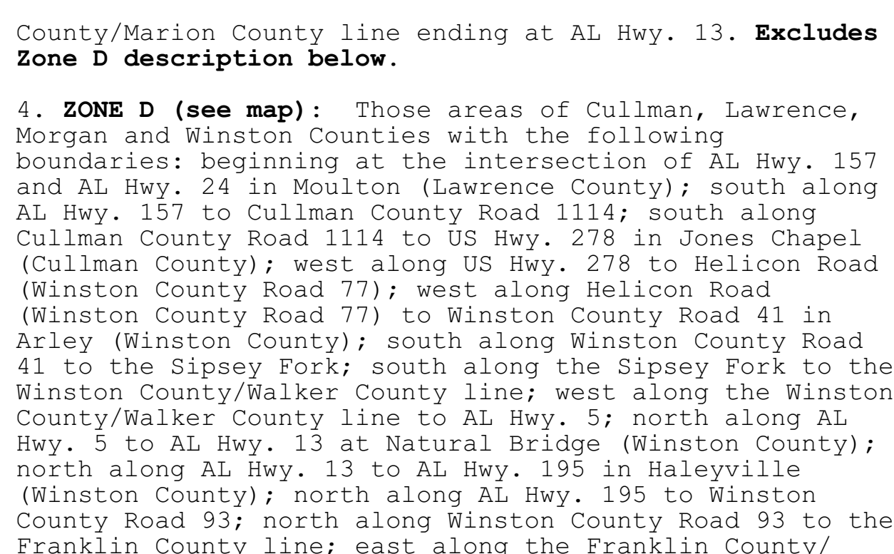
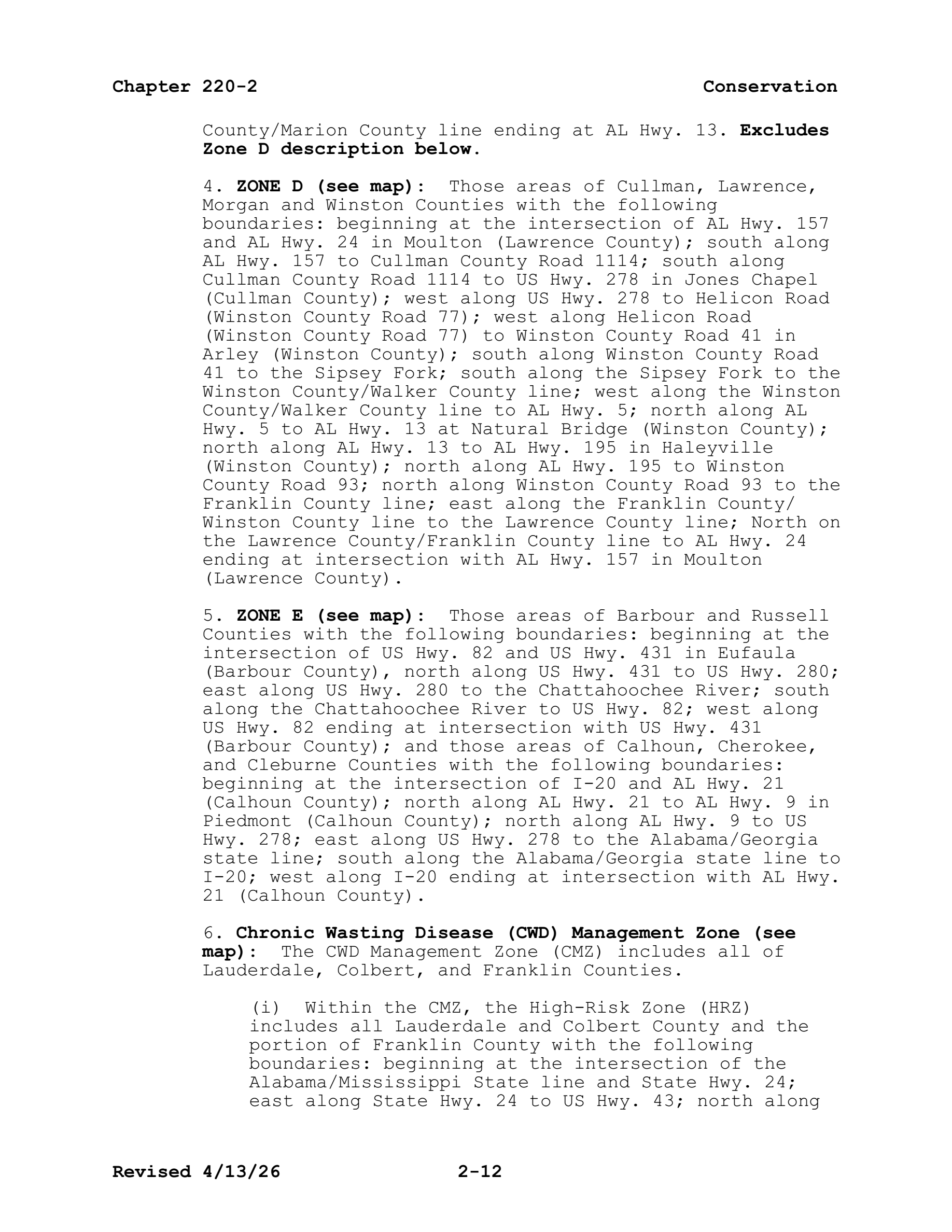
ZONE C (see map): Those areas of Blount, Cullman, Etowah, Jefferson, Lawrence, Marion, Morgan, Marshall, St. Clair, Walker, and Winston Counties with the following boundaries: beginning at the Franklin County/Marion County line on AL Hwy. 13; south along AL Hwy. 13 to AL Hwy. 195 in Haleyville (Winston County); north along AL Hwy. 195 to Winston County Road 93; north along Winston County Road 93 to the Franklin County/Winston County line; east along the Franklin County/Winston County line to the Lawrence County/Winston County line; north along the Franklin County/Lawrence County line to AL Hwy. 24; east along Alabama Hwy. 24 to intersection with AL Hwy. 157 in Moulton (Lawrence County); south along AL Hwy. 157 to Cullman County Road 1114; south along Cullman County Road 1114 to US Hwy. 278 in Jones Chapel (Cullman County); west along US Hwy. 278 to Helicon Road (Winston County Road 77); south along Helicon Road (Winston County Road 77) to Winston County Road 41 in Arley (Winston County); south along Winston County Road 41 to the Sipsey Fork; south along the Sipsey Fork to US Hwy. 69; north along US Hwy. 69 to I-65; south along I-65 to I-59; north along I-59 to US Hwy. 11; north along US Hwy. 11 to Etowah County/Dekalb County line; west along Etowah County/Dekalb County line to Dekalb County/ Marshall County line; north along Dekalb County/Marshall County line to Marshall County/Jackson County line, north along Marshall County/Jackson County line to Tennessee River; west along Tennessee River to the Colbert County/Lawrence County line; south along the Colbert County/Lawrence County line to the Franklin County/Lawrence County line; south along the Franklin County/Lawrence county line to the Winston County/Franklin County line; west along the Winston County/Franklin County line continuing west along the Franklin County/Marion County line ending at AL Hwy. 13.
rule · row 103 of the record
The document
al_regs.pdf · identification: verified
Alabama Administrative Code Rule 220-2-.01, "2026-2027 Hunting Seasons", paragraph (1) DEER, in Chapter 220-2 (Game and Fish Division), Alabama Department of Conservation and Natural Resources, as published by the Alabama Legislative Services Agency — PDF pp.7-27 (chapter folios 2-7 to 2-27)
bytes hash to the record's source_sha256 and the .pdf.source sidecar names the record's source_url
located: verbatim source lines of this row appear uniquely on pages 11, 12 — the row straddles a page break
This row, on page 12
9 source line(s) occur exactly once on page 12; the box is that occurrence
to al hwy. 195 in haleyville (winston county); north
along al hwy. 195 to winston county road 93; north along
along al hwy. 157 to cullman county road 1114; south
along cullman county road 1114 to us hwy. 278 in jones
chapel (cullman county); west along us hwy. 278 to
helicon road (winston county road 77) to winston county
road 41 in arley (winston county); south along winston
county road 41 to the sipsey fork; south along the sipsey
county/marion county line ending at al hwy. 13. excludes
Page 12 of al_regs.pdf
The page is the document's, unedited. What this compilation read off it is the row above; what it did not read is on the state page under “what this record does not carry”.