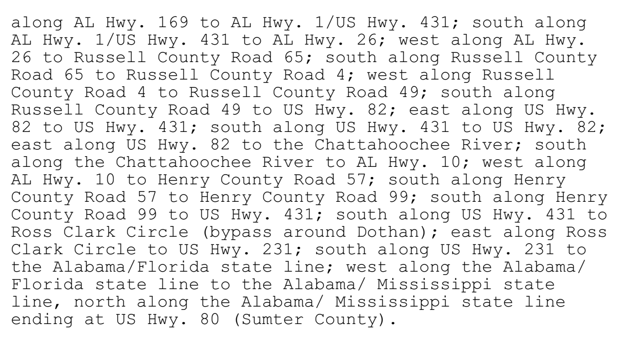
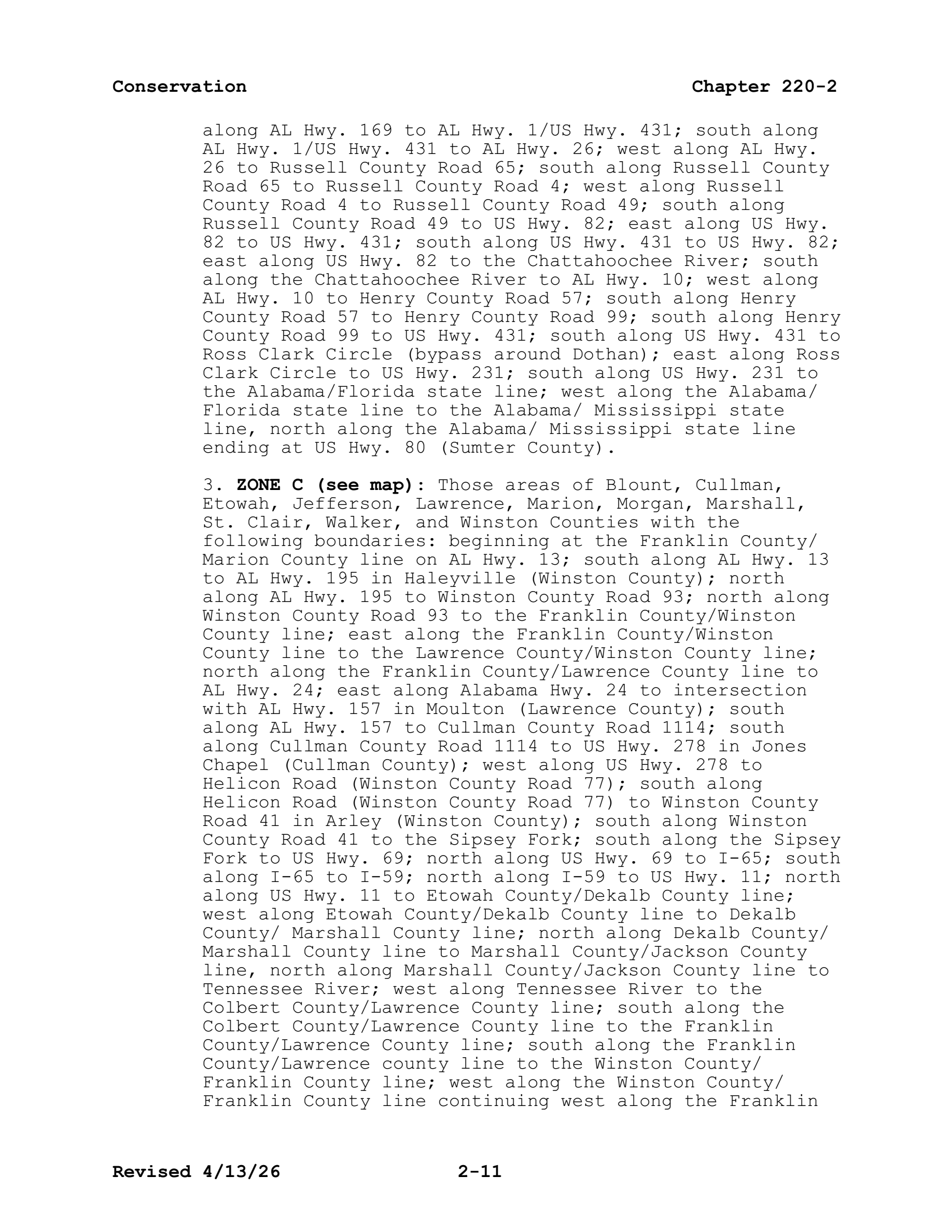
ZONE B (see map): Those areas south or west of a line described as: beginning at the intersection of the Mississippi state line and US Hwy. 80 (Sumter County), east along US Hwy. 80 to the US Hwy. 80 Bypass in Selma (Dallas County); east along US Hwy. 80 Bypass to the Alabama River; east along the Alabama River to I-65; south along I-65 to the intersection with I-85; north along I-85 to AL Hwy. 169 (Exit 60-Lee County); south along AL Hwy. 169 to AL Hwy. 1/US Hwy. 431; south along AL Hwy. 1/US Hwy. 431 to AL Hwy. 26; west along AL Hwy. 26 to Russell County Road 65; south along Russell County Road 65 to Russell County Road 4; west along Russell County Road 4 to Russell County Road 49; south along Russell County Road 49 to US Hwy. 82; east along US Hwy. 82 to US Hwy. 431; south along US Hwy. 431 to US Hwy. 82; east along US Hwy. 82 to the Chattahoochee River; south along the Chattahoochee River to AL Hwy. 10; west along AL Hwy. 10 to Henry County Road 57; south along Henry County Road 57 to Henry County Road 99; south along Henry County Road 99 to US Hwy. 431; south along US Hwy. 431 to Ross Clark Circle (bypass around Dothan); east along Ross Clark Circle to US Hwy. 231; south along US Hwy. 231 to the Alabama/Florida state line; west along the Alabama/Florida state line to the Alabama/ Mississippi state line, north along the Alabama/ Mississippi state line ending at US Hwy. 80 (Sumter County).
rule · row 102 of the record
The document
al_regs.pdf · identification: verified
Alabama Administrative Code Rule 220-2-.01, "2026-2027 Hunting Seasons", paragraph (1) DEER, in Chapter 220-2 (Game and Fish Division), Alabama Department of Conservation and Natural Resources, as published by the Alabama Legislative Services Agency — PDF pp.7-27 (chapter folios 2-7 to 2-27)
bytes hash to the record's source_sha256 and the .pdf.source sidecar names the record's source_url
located: verbatim source lines of this row appear uniquely on pages 10, 11 — the row straddles a page break
This row, on page 11
18 source line(s) occur exactly once on page 11; the box is that occurrence
along al hwy. 169 to al hwy. 1/us hwy. 431; south along
al hwy. 1/us hwy. 431 to al hwy. 26; west along al hwy.
26 to russell county road 65; south along russell county
road 65 to russell county road 4; west along russell
county road 4 to russell county road 49; south along
russell county road 49 to us hwy. 82; east along us hwy.
82 to us hwy. 431; south along us hwy. 431 to us hwy. 82;
east along us hwy. 82 to the chattahoochee river; south
along the chattahoochee river to al hwy. 10; west along
al hwy. 10 to henry county road 57; south along henry
county road 57 to henry county road 99; south along henry
county road 99 to us hwy. 431; south along us hwy. 431 to
ross clark circle (bypass around dothan); east along ross
clark circle to us hwy. 231; south along us hwy. 231 to
the alabama/florida state line; west along the alabama/
florida state line to the alabama/ mississippi state
line, north along the alabama/ mississippi state line
ending at us hwy. 80 (sumter county).
Page 11 of al_regs.pdf
The page is the document's, unedited. What this compilation read off it is the row above; what it did not read is on the state page under “what this record does not carry”.