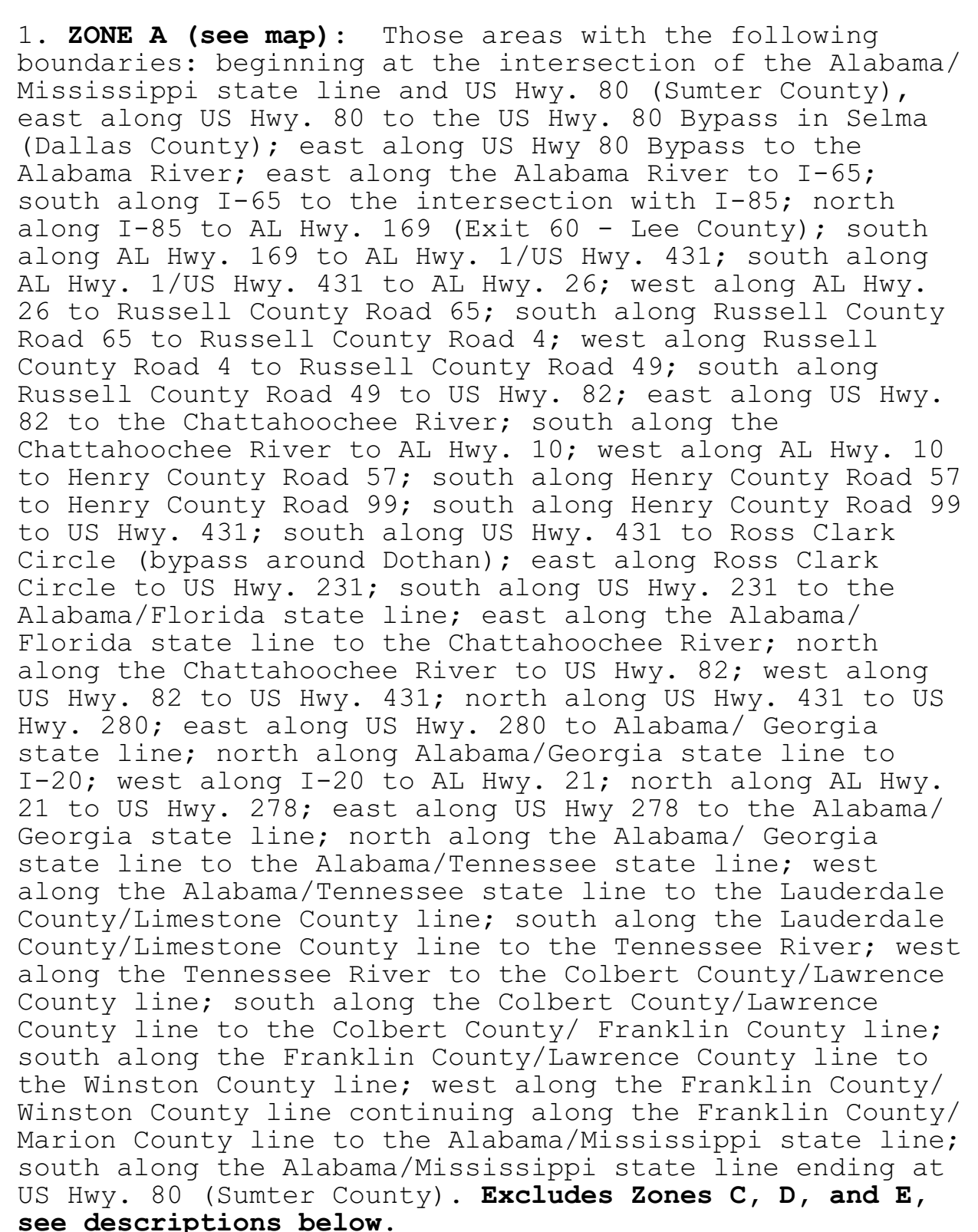
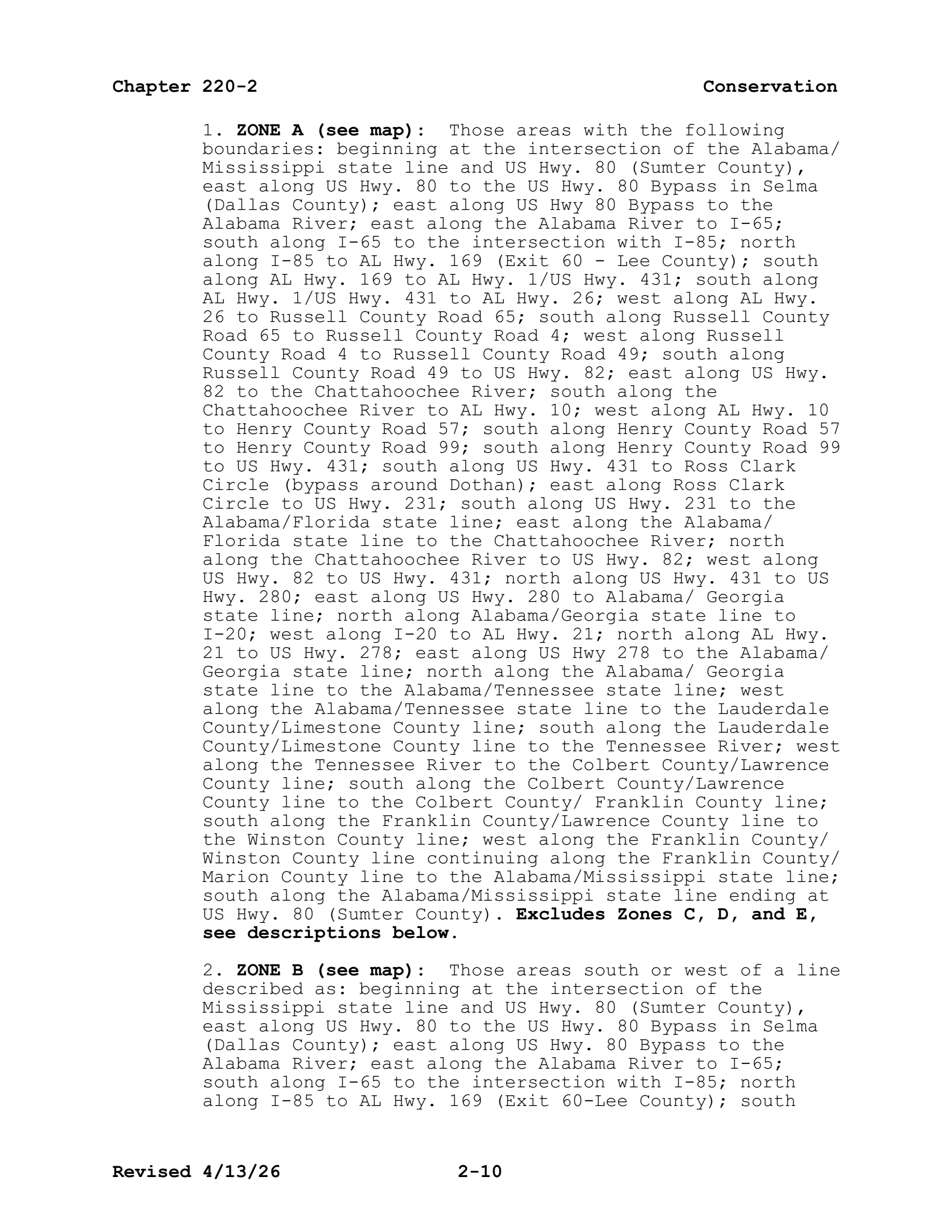
ZONE A (see map): Those areas with the following boundaries: beginning at the intersection of the Alabama/Mississippi state line and US Hwy. 80 (Sumter County), east along US Hwy. 80 to the US Hwy. 80 Bypass in Selma (Dallas County); east along US Hwy 80 Bypass to the Alabama River; east along the Alabama River to I-65; south along I-65 to the intersection with I-85; north along I-85 to AL Hwy. 169 (Exit 60 - Lee County); south along AL Hwy. 169 to AL Hwy. 1/US Hwy. 431; south along AL Hwy. 1/US Hwy. 431 to AL Hwy. 26; west along AL Hwy. 26 to Russell County Road 65; south along Russell County Road 65 to Russell County Road 4; west along Russell County Road 4 to Russell County Road 49; south along Russell County Road 49 to US Hwy. 82; east along US Hwy. 82 to the Chattahoochee River; south along the Chattahoochee River to AL Hwy. 10; west along AL Hwy. 10 to Henry County Road 57; south along Henry County Road 57 to Henry County Road 99; south along Henry County Road 99 to US Hwy. 431; south along US Hwy. 431 to Ross Clark Circle (bypass around Dothan); east along Ross Clark Circle to US Hwy. 231; south along US Hwy. 231 to the Alabama/Florida state line; east along the Alabama/Florida state line to the Chattahoochee River; north along the Chattahoochee River to US Hwy. 82; west along US Hwy. 82 to US Hwy. 431; north along US Hwy. 431 to US Hwy. 280; east along US Hwy. 280 to Alabama/ Georgia state line; north along Alabama/Georgia state line to I-20; west along I-20 to AL Hwy. 21; north along AL Hwy. 21 to US Hwy. 278; east along US Hwy 278 to the Alabama/Georgia state line; north along the Alabama/ Georgia state line to the Alabama/Tennessee state line; west along the Alabama/Tennessee state line to the Lauderdale County/Limestone County line; south along the Lauderdale County/Limestone County line to the Tennessee River; west along the Tennessee River to the Colbert County/Lawrence County line; south along the Colbert County/Lawrence County line to the Colbert County/ Franklin County line; south along the Franklin County/Lawrence County line to the Winston County line; west along the Franklin County/Winston County line continuing along the Franklin County/Marion County line to the Alabama/Mississippi state line; south along the Alabama/Mississippi state line ending at US Hwy. 80 (Sumter County).
rule · row 100 of the record
The document
al_regs.pdf · identification: verified
Alabama Administrative Code Rule 220-2-.01, "2026-2027 Hunting Seasons", paragraph (1) DEER, in Chapter 220-2 (Game and Fish Division), Alabama Department of Conservation and Natural Resources, as published by the Alabama Legislative Services Agency — PDF pp.7-27 (chapter folios 2-7 to 2-27)
bytes hash to the record's source_sha256 and the .pdf.source sidecar names the record's source_url
located: a verbatim source line of this row appears on page 10 of the source PDF and on no other page the record read
This row, on page 10
39 source line(s) occur exactly once on page 10; the box is that occurrence
1. zone a (see map): those areas with the following
boundaries: beginning at the intersection of the alabama/
(dallas county); east along us hwy 80 bypass to the
along i-85 to al hwy. 169 (exit 60 - lee county); south
along al hwy. 169 to al hwy. 1/us hwy. 431; south along
al hwy. 1/us hwy. 431 to al hwy. 26; west along al hwy.
26 to russell county road 65; south along russell county
road 65 to russell county road 4; west along russell
county road 4 to russell county road 49; south along
russell county road 49 to us hwy. 82; east along us hwy.
82 to the chattahoochee river; south along the
chattahoochee river to al hwy. 10; west along al hwy. 10
to henry county road 57; south along henry county road 57
to henry county road 99; south along henry county road 99
to us hwy. 431; south along us hwy. 431 to ross clark
circle (bypass around dothan); east along ross clark
circle to us hwy. 231; south along us hwy. 231 to the
alabama/florida state line; east along the alabama/
florida state line to the chattahoochee river; north
along the chattahoochee river to us hwy. 82; west along
us hwy. 82 to us hwy. 431; north along us hwy. 431 to us
hwy. 280; east along us hwy. 280 to alabama/ georgia
state line; north along alabama/georgia state line to
i-20; west along i-20 to al hwy. 21; north along al hwy.
21 to us hwy. 278; east along us hwy 278 to the alabama/
georgia state line; north along the alabama/ georgia
state line to the alabama/tennessee state line; west
along the alabama/tennessee state line to the lauderdale
county/limestone county line; south along the lauderdale
county/limestone county line to the tennessee river; west
along the tennessee river to the colbert county/lawrence
county line; south along the colbert county/lawrence
county line to the colbert county/ franklin county line;
south along the franklin county/lawrence county line to
the winston county line; west along the franklin county/
winston county line continuing along the franklin county/
marion county line to the alabama/mississippi state line;
south along the alabama/mississippi state line ending at
us hwy. 80 (sumter county). excludes zones c, d, and e,
Page 10 of al_regs.pdf
The page is the document's, unedited. What this compilation read off it is the row above; what it did not read is on the state page under “what this record does not carry”.